Egypt MT Array
The Egypt MT Array project is a transformative initiative designed to revolutionize our understanding of Egypt's subsurface. Through cutting-edge magnetotelluric (MT) surveys, we are creating detailed 3D resistivity models of the lithosphere. These models are crucial for advancing sustainable resource management, including groundwater, geothermal energy, and mineral exploration.
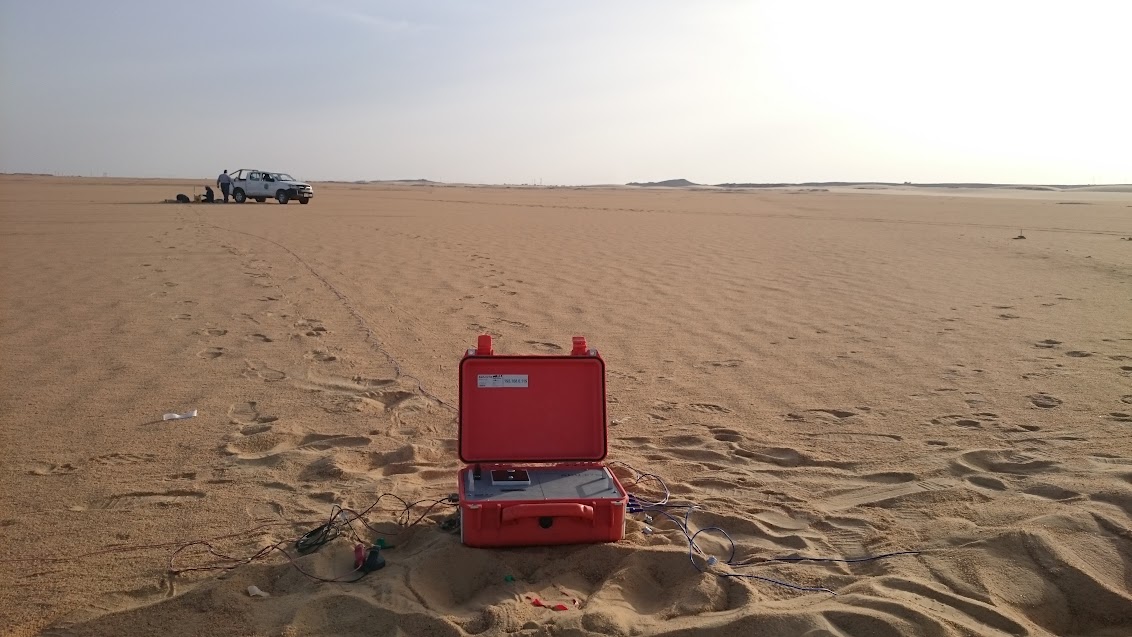
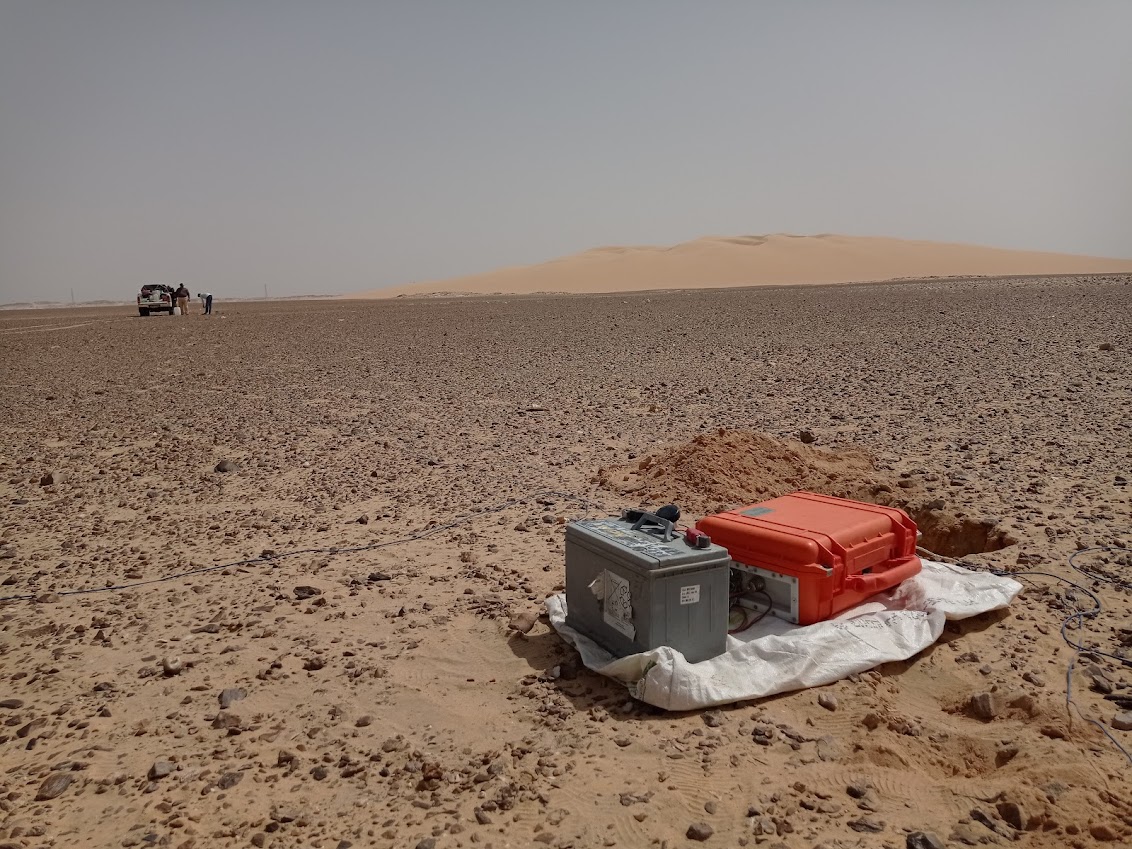
Our work integrates locally developed Long Period Telluric Recorders (LPTRs), which allow for cost-effective and efficient data acquisition. By leveraging state-of-the-art technology and methodologies, we aim to bridge the gap between geophysical research and practical applications that support Egypt’s sustainable development goals.
The project is driven by a dedicated team of experts, supported by collaborations with national and international institutions. Together, we are paving the way for new insights into Earth’s processes, while fostering capacity building and knowledge transfer within the scientific community.
To map and understand Egypt’s lithosphere for sustainable resource exploration and management.
Develop a nationwide MT network, produce high-resolution resistivity models, and address critical environmental and resource challenges.
Utilize the use of locally built LPTR loggers to achieve wide coverage.

Access our interactive WebGIS portal to visualize and analyze magnetotelluric survey data. The portal features detailed maps of MT sites, resistivity models, and potential geothermal hotspots.

Principal Investigator
National Research Institute of Astronomy and Geophysics (NRIAG).
Co-Principal Investigator
National Research Institute of Astronomy and Geophysics (NRIAG).
Email: geointernational@netscape.net
Address: National Research Institute of Astronomy and Geophysics (NRIAG), Egypt